Thursday, September 30, 2010

Enhancing TerraServer-USA with USAPhotoMaps


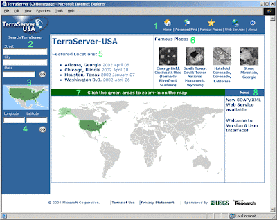
TerraServer-USA is a popular Web site that displays free aerial photographs and topographic maps of the U.S. that are produced by the United States Geological Survey (USGS).
And although TerraServer-USA is a great Web-hosted mapping service, it has several limitations:
  • Only a relatively small geographic area can be displayed.
  • You can’t edit downloaded photos and maps.
  • GPS receiver data can’t be used with the photos and maps.
To address these issues, several developers have created programs that download TerraServer-USA aerial photos and maps so you can put the data to more versatile use. Instead of relying on a Web browser, you use these standalone programs — like USAPhotoMaps — to create scrollable, aerial photos of just about anywhere in the United States that can be customized and saved and optionally overlaid with GPS data.

No comments: